


Weather warning for heavy rain in Grampian area updated
Register for free to read more of the latest local news. It's easy and will only take a moment.

The Met Office has updated its yellow weather warning for heavy rain in the Grampian area.
The warning area has been expanded while the start time has been brought forward. The overall rainfall totals have been increased slightly.
It will now come into effect from midnight on Sunday until 11.59pm on Monday.
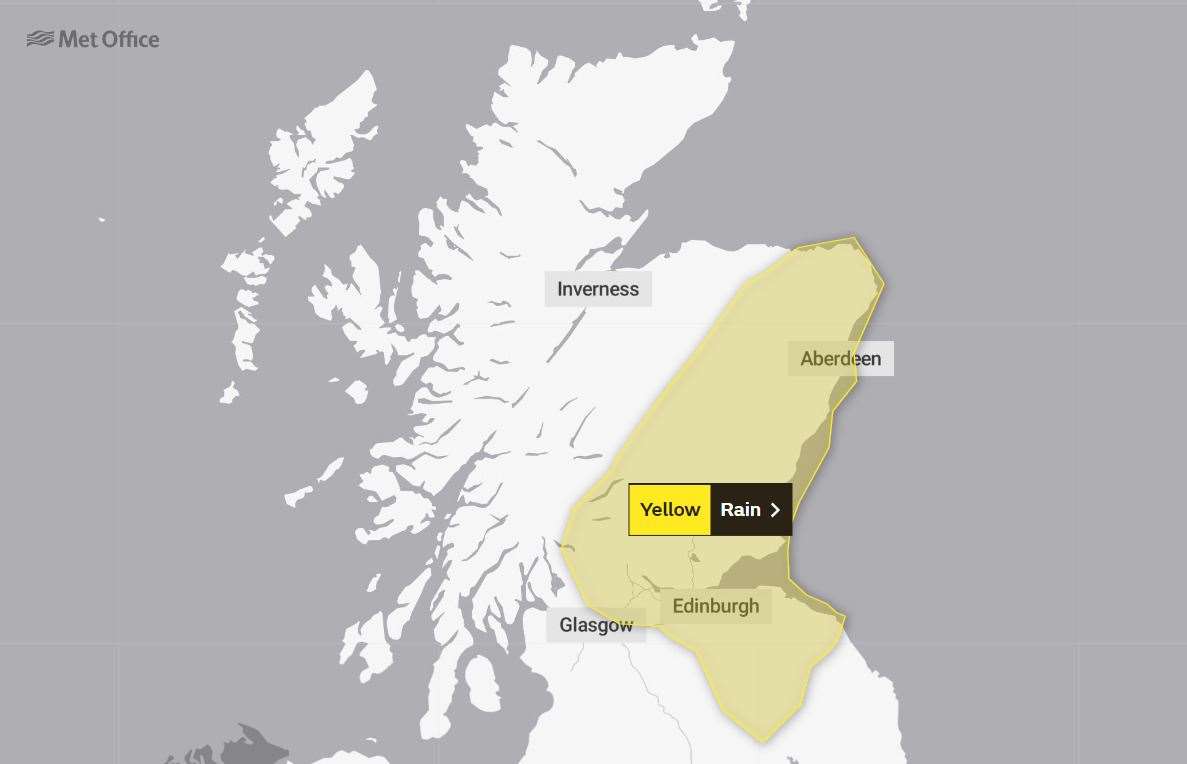
The further heavy rain could bring some disruption to parts of central and eastern Scotland.
The warning outlines: "After recent very wet weather, further heavy rain is expected to affect central and eastern Scotland.
"Many parts of the warning area will see 20-40mm of rain, whilst the wettest spots, most likely from Stirling and Fife northwards into Angus and Aberdeenshire, could see 50-80 mm, and isolated 100-120 mm on the mountains.
"In addition, on Sunday, strong winds with gusts 50-60 mph are also probable along exposed parts of the coast."
The public are advised to expect
- There is a slight chance of power cuts and loss of other services to some homes and businesses.
- Homes and businesses could be flooded, causing damage to some buildings.
- Fast flowing or deep floodwater is possible, causing a danger to life.
- Delays or cancellations to train and bus services are possible.
- Spray and flooding could lead to difficult driving conditions and some road closures.
- Some communities may be cut off by flooded roads.
- Possible power cuts and loss of other services to some homes and businesses.