


Watch: It's a mixed weather week ahead across the north-east
Register for free to read more of the latest local news. It's easy and will only take a moment.

It’s a cold and dry week ahead for many parts of the UK, though with some snow across the south of the UK at first.
The north and north-east will see a change as temperatures rise later in the week, as wetter weather once again makes its presence known.
Some areas could see temperatures as low as -9°C especially in rural Scotland and -6°C in rural Wales overnight as the UK experiences much colder temperatures than recent weeks.
Paul Gundersen is a Met Office Chief Forecaster. He said: “High pressure is dominating our weather, sitting up to the northeast.
"That will bring a real chill across the south but also bring in some snow showers across southern areas of England and south Wales.
"Settling snow will be mainly confined to high ground at first, and most parts will see very little, but small accumulations are possible."
The UK Health Security Agency has issued a Cold Health Alert, which means significant impacts are probable across the health and social care sector.
When temperatures drop, house pipes can freeze and then burst when they thaw out.
We will see a mostly dry day on Tuesday, with some sunshine, but still cold, especially in the south where temperatures will reach no higher than 1°C to 3°C.
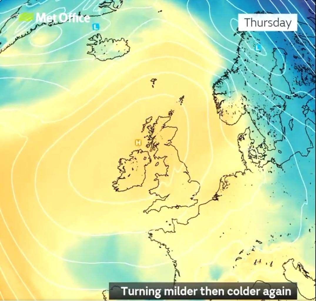
Further ahead High pressure persists for most of this week, continuing the dry and cold conditions.
Towards the weekend, a cold front from the north could introduce the risk of showers for some.