


Snow and ice weather warning issued for Grampian area
Register for free to read more of the latest local news. It's easy and will only take a moment.

A yellow weather warning for snow and ice has been issued for the Grampian area.
It will be valid from midnight on Monday until 11.59pm on Tuesday.
The Met Office warning outlines: "A band of rain, sleet and snow is expected to move south during Monday followed by frequent snow and hail showers.
"Whilst the highest accumulations of 5-10cm are most likely over northern Scotland, there is a small chance of more organised and persistent spells of snow developing elsewhere in this area, and could bring 2 to 5cm even at lower levels.
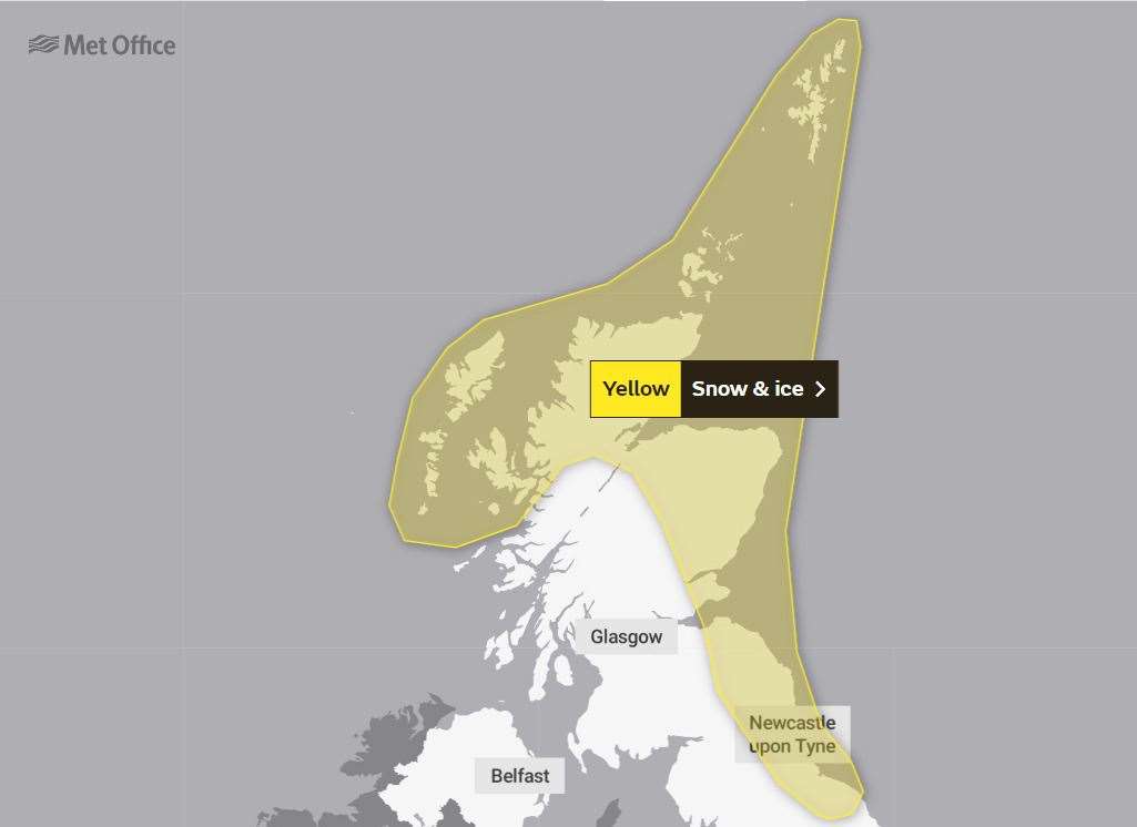
"Into Monday night, showers are expected to continue, and ice is likely to form on untreated surfaces where snow has melted by day.
"Cold, blustery northerly winds will continue to drive frequent showers of snow and hail into these areas on Tuesday.
"The highest accumulations are likely again over the high ground of northern Scotland, where another 5-10cm are possible by the end of the day.
"Accumulations at lower levels are most likely overnight where 2-5cm could accumulate locally.
"Icy stretches are also a likelihood, especially during hours of darkness."
The Met Office outlined the public should expect:
- There is a small chance of travel delays on roads with some stranded vehicles and passengers, along with delayed or cancelled rail and air travel.
- There is a slight chance that some rural communities could become cut off.
- A small chance of injuries from slips and falls on icy surfaces.
- There is a small chance that power cuts will occur and other services, such as mobile phone coverage, may be affected.