


SEPA launches consultation to review areas most at risk of flooding across Scotland
Register for free to read more of the latest local news. It's easy and will only take a moment.

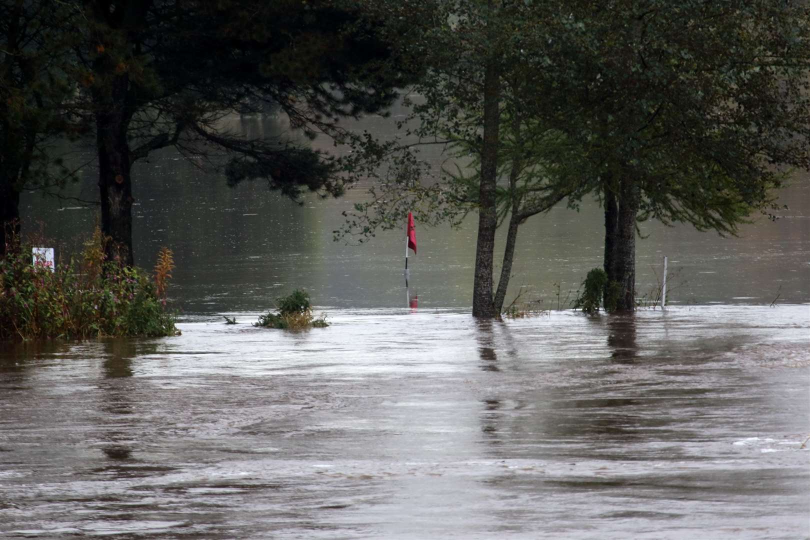
The Scottish Environment Protection Agency (SEPA) are consulting on a review of Potentially Vulnerable Areas (PVAs) to protect communities from future impacts of flooding, as the number of homes, businesses and services at risk across Scotland is projected to increase by around 40% by the 2080s due to climate change.
PVAs are areas where significant flood risk exists now or is likely to occur in the future and are used to identify locations where a partnership approach may be required to resolve widespread and often complex flooding issues. They inform Scotland’s Flood Risk Management (FRM) Plans and Local Flood Risk Management Plans and become the focus of FRM actions, helping responsible authorities to prioritise investment and coordinate actions to reduce the impacts of flooding on communities.
Identifying PVAs is an essential part of protecting people, properties, businesses, communities, infrastructure, and our environment, with an estimated 284,000 homes, businesses and services across Scotland currently identified as at risk of flooding.
This winter, SEPA issued a record number of regional Flood Alerts and local Flood Warnings to the public.
A total of 720 messages were sent between 1st September 2023 and 16th February 2024. The previous record of 714 was set over autumn and winter 2015/16.
Siobhan McNulty, Flood Risk Planning Manager at SEPA, said: “Scotland is witnessing an increasing number of extreme weather events and flooding presents a growing threat to our communities.
“It is vital we work together with partners and communities to identify the areas most at risk so we can work together to increase Scotland's resilience to flooding.
PVAs are the first step in this process.” Informing Scotland’s flood risk management process Since PVAs were first identified in 2011, SEPA have worked together with partners including local authorities and Scottish Water to plan and deliver actions to manage flood risk in the places where it is needed most.
Based on the National Flood Risk Assessment, PVAs are updated and published by SEPA every six years as required by the Flood Risk Management (Scotland) Act 2009.
The designation of PVAs takes into consideration past, current and future flood risk from rivers, the sea and surface water using recorded events, observations and strategic flood modelling. SEPA are now consulting on proposed updates to PVAs for 2024.
The review will focus on smaller, community-based target areas set within wider zones of influence to provide clearer information on how flood risk is tackled in Scotland.
Once the PVAs are formally designated by Scottish Ministers, SEPA will then prepare FRM plans to set objectives and actions for reducing flood risk.
The local FRM plans published by each lead local authority will then provide more detail, including timescales and funding.
Cabinet Secretary for Wellbeing Economy, Net Zero and Energy Màiri McAllan said: “Managing our exposure to floods and their impacts is a significant and growing challenge as climate change brings more severe and frequent flood events.
“Improving resilience to flooding is a priority for the Scottish Government, so I welcome the launch of this consultation and I encourage all parties with a potential interest to engage with it.”
One community that has historically suffered from flooding is Stonehaven, which has been designated a PVA since the first cycle in 2011. Several actions have since been identified and delivered through flood risk management plans developed by SEPA and Aberdeenshire Council, with input from the Stonehaven Flood Action Group and the wider community. These include the completion of the Stonehaven Flood Protection Scheme which is designed to protect against flooding from the Glaslaw Burn and the River Carron, and benefits around 370 homes and businesses by reducing fluvial flooding.
Other actions that have been delivered for Stonehaven are a new coastal flood warning system, updated coastal flood hazard maps and the completion of the Stonehaven Bay coastal flood study.
You can respond to the consultation on PVAs via Citizen Space until June 24.