


Parts of UK will need ‘record-breaking levels of rain’ to recover from summer
Register for free to read more of the latest local news. It's easy and will only take a moment.
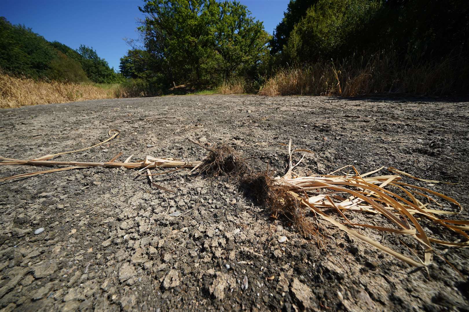
The driest parts of the UK need to see rainfall at “more than record-breaking” levels this autumn to recover from the joint hottest summer on record, the Met Office said.
Despite recent thundery downpours, Southern England still needs more than 400mm of rainfall to reach the average amount of rain for the year, which would require the region to experience the wettest autumn ever.
Almost a third of the average amount of rain expected for the month of September in Southern England has fallen in just six days, at 20.3mm.
However, Met Office spokesman Grahame Madge told PA “we’d actually have to see 428mm of rain” in the south of England this autumn “to get the corresponding previous 12 months to average”.
It is possible that rainfall can recharge very quickly over a season, but it's a slower process than I'm sure a lot of people would hope for
The current record for autumn rainfall in the region was set in 2000, when 418mm fell.
The UK received 54% of average rainfall in August 2022, with England receiving 35%.
The South of England was amongst the driest regions of the UK, where four of the six water companies currently implementing hosepipe bans are located.
So far, 2022 has been the driest since 1976, when there was a summer of severe drought for both England and the UK as a whole.
The UK’s rain levels did manage to recover from the hot summer of 1976, with downpours in the autumn making up for the summer shortfall.
“It is possible that rainfall can recharge very quickly over a season, but it’s a slower process than I’m sure a lot of people would hope for,” Mr Madge said.
Further showers are on the way, with the UK now in a “rinse-and-repeat cycle of low-pressure systems” which will continue to regularly deliver rain.
Mr Madge said: “The forecast is quite unsettled for the UK.
“We’ve got today a couple of locations where we can expect quite heavy rainfall.
“We’re looking at an area in southern Scotland and potentially northern England, where there’ll be heavy rain coming in off the North Sea.
“The southern Scotland rainfall looks particularly heavy, and we are looking at whether a warning will be needed for that.
“There’s also quite heavy rain in terms of thundery showers that look likely to develop across south-east England later, particularly locations like Sussex and Kent, close to the Channel coast.
“Elsewhere, we’ve got quite an unsettled day, (with the) potential for heavy showers to develop virtually everywhere.”
Atlantic hurricanes Danielle and Earl will have an impact in the west of the UK, bringing “more intense rainfall” and raising temperatures up into the low 20s in some places.