


Nearly 30 flood warnings issued as UK faces heavy rain but snow risk lessens
Register for free to read more of the latest local news. It's easy and will only take a moment.
More than 20 flood warnings are in force across south-west England as the UK faces heavy rain but a decreasing risk of snow, forecasters have said.
Travel disruption is expected as a Met Office yellow weather warning for rain is in place across parts of southern England, south-east Wales and into the Midlands which will last until 6pm on Monday.
The Environment Agency has issued 28 flood warnings, mainly in Dorset and Somerset, as heavy rain is causing river levels to rise.
National Highways said the A303 in Somerset was closed eastbound between the A37/A372 at Podimore and the A359 near Sparkford because of flooding, with no time estimated for when it would reopen.
Flooding has blocked the railway line between Taunton and Westbury, affecting Great Western Railway (GWR) and CrossCountry services.
GWR trains to London are being diverted via Bristol, extending journey times by up to two hours.
Services were already reduced due to industrial action by train drivers.
Extreme rainfall in the Crewkerne area of Somerset means fewer trains than normal can run between Exeter St Davids and Yeovil Junction.
Passengers were advised not to travel between Salisbury and Exeter.
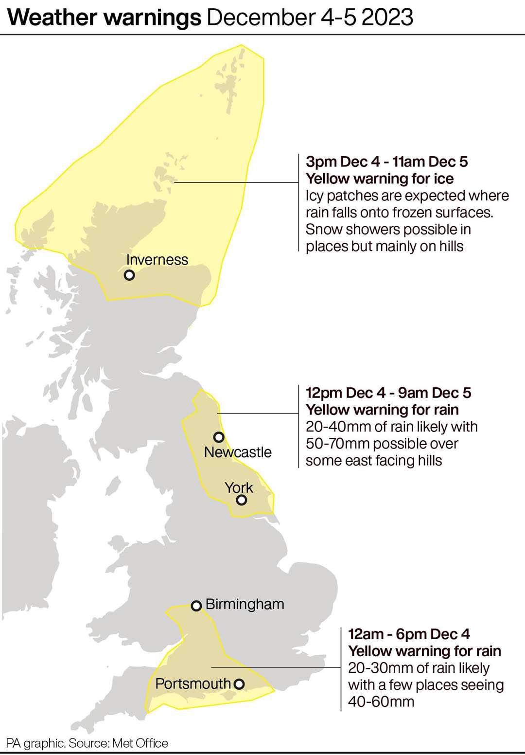
A yellow rain warning is also in place for north-east England from midday on Monday until 9am on Tuesday.
Drivers have been warned they face “very treacherous icy conditions” in parts of the UK on Monday after another night of sub-zero temperatures.
A yellow weather warning for ice by the Met Office is in place across much of the north of England until noon on Monday, with further warnings for snow covering the eastern side of Scotland, high ground in Wales and the Peak District until the same time.
Overnight temperatures, which dipped to around or below freezing in many of the affected areas, were expected to cause icy patches on untreated surfaces due to thawed snow refreezing.
Engineers at Electricity North West said 99% of affected properties in Cumbria will have power restored by the end of Monday after up to 30cm of snow fell in the county.
Stephanie Trubshaw, the energy firm’s customer director, said: “Our focus is on restoring power to the remaining impacted properties, but a small number of properties may remain without power overnight due to new extensive damage reported to us this afternoon by customers in remote areas who we have now been able to make contact with.
“We understand this is an extremely difficult situation for all of our customers who have been impacted and we are working tirelessly to ensure power is restored as quickly as possible.”
Earlier Electricity North West said it had reconnected power to more than 13,000 properties after the snow damaged miles of overhead lines.
Cumberland Council said nearly 40 schools would remain closed on Monday due to the conditions.
Met Office spokesman Grahame Madge said the risk of snow was now lessening and would “more or less be confined to Scottish mountains” by the end of the week.
He told the PA news agency: “Temperatures are rising from below average now to above average.
“Overnight (on Monday), in parts of the north, frost remains still a risk. Tomorrow could see frost from Scotland down into central southern England.
“In general, conditions will be more wet and windy.”