


Green belt land covers 12.6% of England, figures show
Register for free to read more of the latest local news. It's easy and will only take a moment.
There are 1,638,420 hectares of green belt in England, about 12.6% of the country’s land area, according to Government figures.
This has increased by 0.1%, with some local authorities adding to their green belt and others making it smaller.
A green belt designation is a restrictive planning rule designed to stop the spread of urban sprawl, prevent neighbouring towns merging together, preserve the historical aesthetics of small towns and encourage developers to reuse derelict urban land.
It wraps around 16 of England’s towns and cities including London, Manchester, Birmingham and Liverpool, with some critics arguing that it favours wealthy people living in countryside towns while preventing the expansion of much-needed housing stock.
Labour has said it will review the rules on green belt restrictions as a way to allow more houses to be built, with Sir Keir Starmer describing “dreary” green belt land such as disused car parks as “grey belt”.
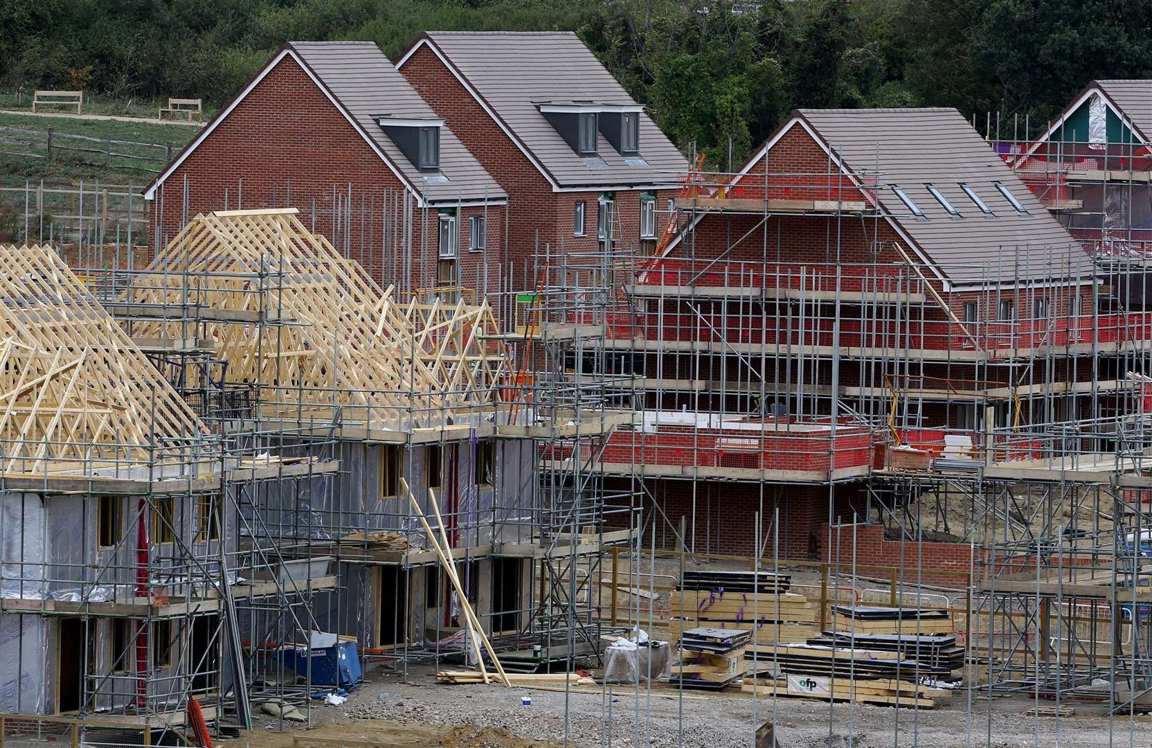
He wants to build 1.5 million homes in the first five years of Labour taking office and build entirely new towns, as Milton Keynes and Stevenage were after the Second World War.
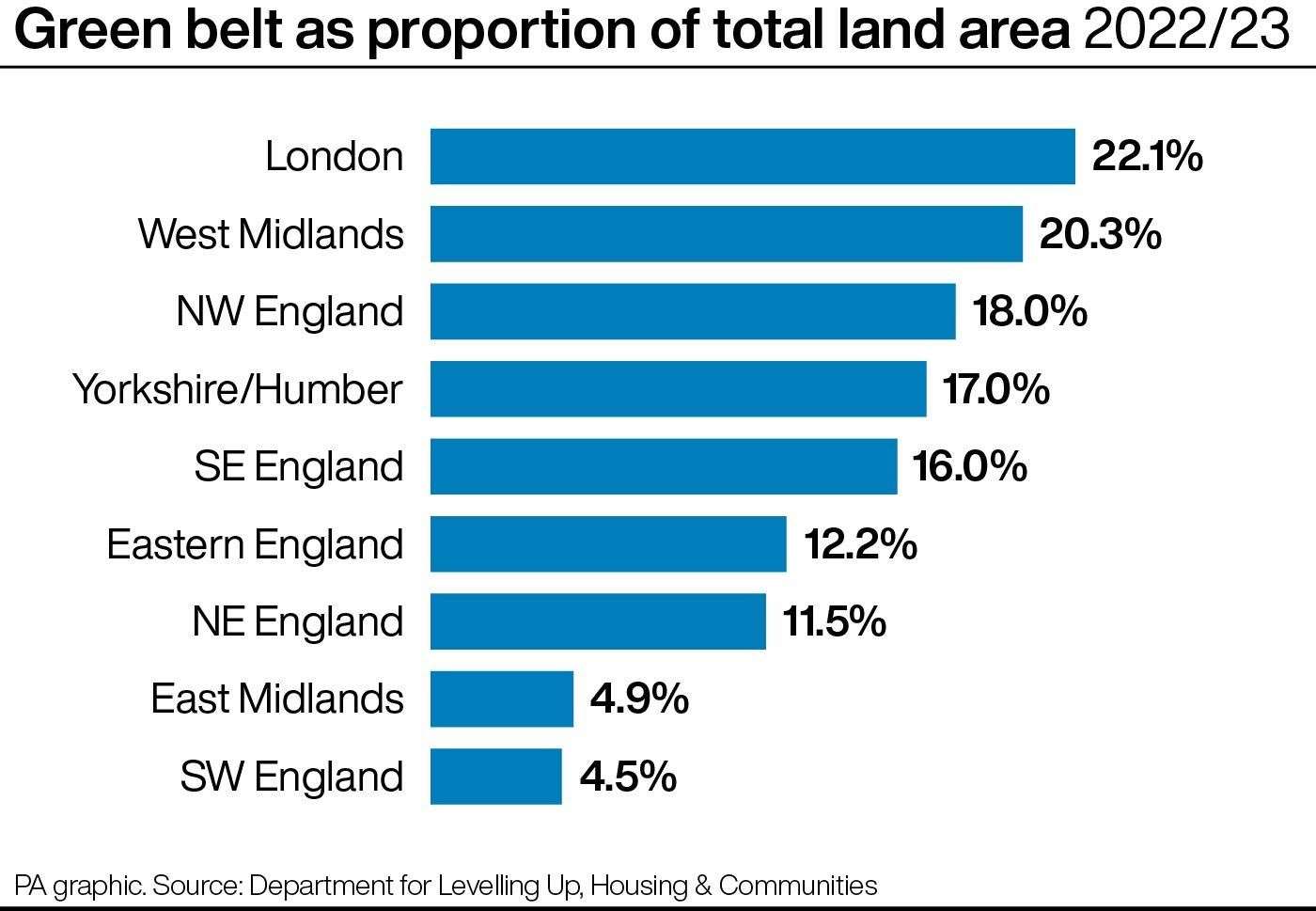
Just over 22% of London’s land area is designated as green belt, according to the figures released by the Department for Levelling Up, Housing and Communities (DLUHC)
This makes up 34,770 hectares, which means it is the city with the highest proportion of its land as green belt, with the average cost of rent having hit a new record this year of £2,627 per month – 12.1% higher than last year according to Rightmove.
DLUHC said every year around 10 local authorities make changes to the size of their green belt for various reasons.
This year, North Hertfordshire, which is jointly run by Labour and Co-operative and the Liberal Democrats, grew its green belt by 24%, with nine other local authorities decreasing theirs slightly, to give a net change of a 0.1% increase.
After London, the region with the largest proportion of its land as green belt is the West Midlands, followed by the North West, Yorkshire and the Humber and the South East.
Net changes in green belt land area show it to have decreased between 2013 and 2021, when it started to show a net increase.