


Coastal defence plans under the spotlight at Findochty consultation session
Register for free to read more of the latest local news. It's easy and will only take a moment.

HOW Moray’s coastal assets will be managed in the future took centre stage at a public consultation session in Findochty recently.
Under the spotlight at the town hall on April 15 was phase 2 of the Coastal Change Adaptation Plans, with members of the public invited to submit their views on issues facing a strip of coast running from Strathlene to Cullen Links.
The plans, which cover the whole of Moray’s coastline, are designed to give Moray Council a clearer process for managing coastal assets.
Decisions will be based on evidence from coastal monitoring, including coastal erosion, sea level rise, coastal flooding, existing defences and their condition
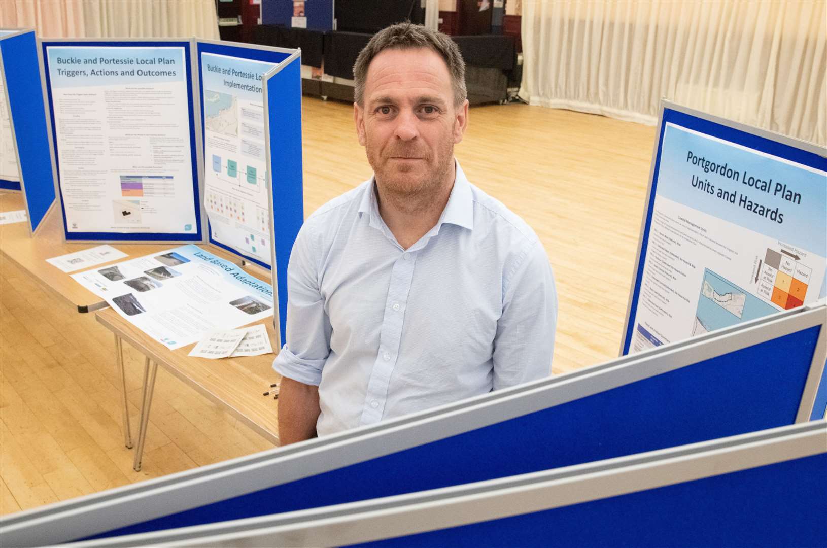
Speaking at the Findochty drop-in session, Will Burnish, senior engineer for flooding and coast at Moray Council, said: “We’ve now reached the point where we’re at the last stages [of the plans] and are due to go to the elected members at the end of the month for ratification.
“These will then become part of our policy for how we’re going to manage the coastline from one end of Moray right through to the other.
“This whole stretch of coast from Portessie through to Portknockie is actually quite well defended but there are a couple of coastal defences which were built in the late 60s/early 70s and that’s what we’re keeping an eye on because there will be a point when they won’t be able to do what they’re designed to do.”
Looking ahead, Mr Burnish said the Moray coastline faced a number of likely challenges over the coming decades, although putting an exact timeframe on what is going to happen and when was impossible.
He continued: “We think there’ll be significant erosion of what you could call soft, natural banks where the sand dunes and sandy beaches and where you’ve got shingles are going to be quite vulnerable to storm dents…that’s probably our biggest risk from an erosion perspective.
“We’ve also got sea level rise, we know the sea level is going up and that is one which will have a long-term impact in the likes of Cullen where there are currently sea defences but those will have to be reviewed. That’s probably 20-30 years in the future but they will be big challenges.”
He went on to say that key erosion areas had been identified, including Kingston, Garmouth and Findhorn, which he described as “particularly vulnerable”.