


Moray coastlines in survey spotlight
Register for free to read more of the latest local news. It's easy and will only take a moment.

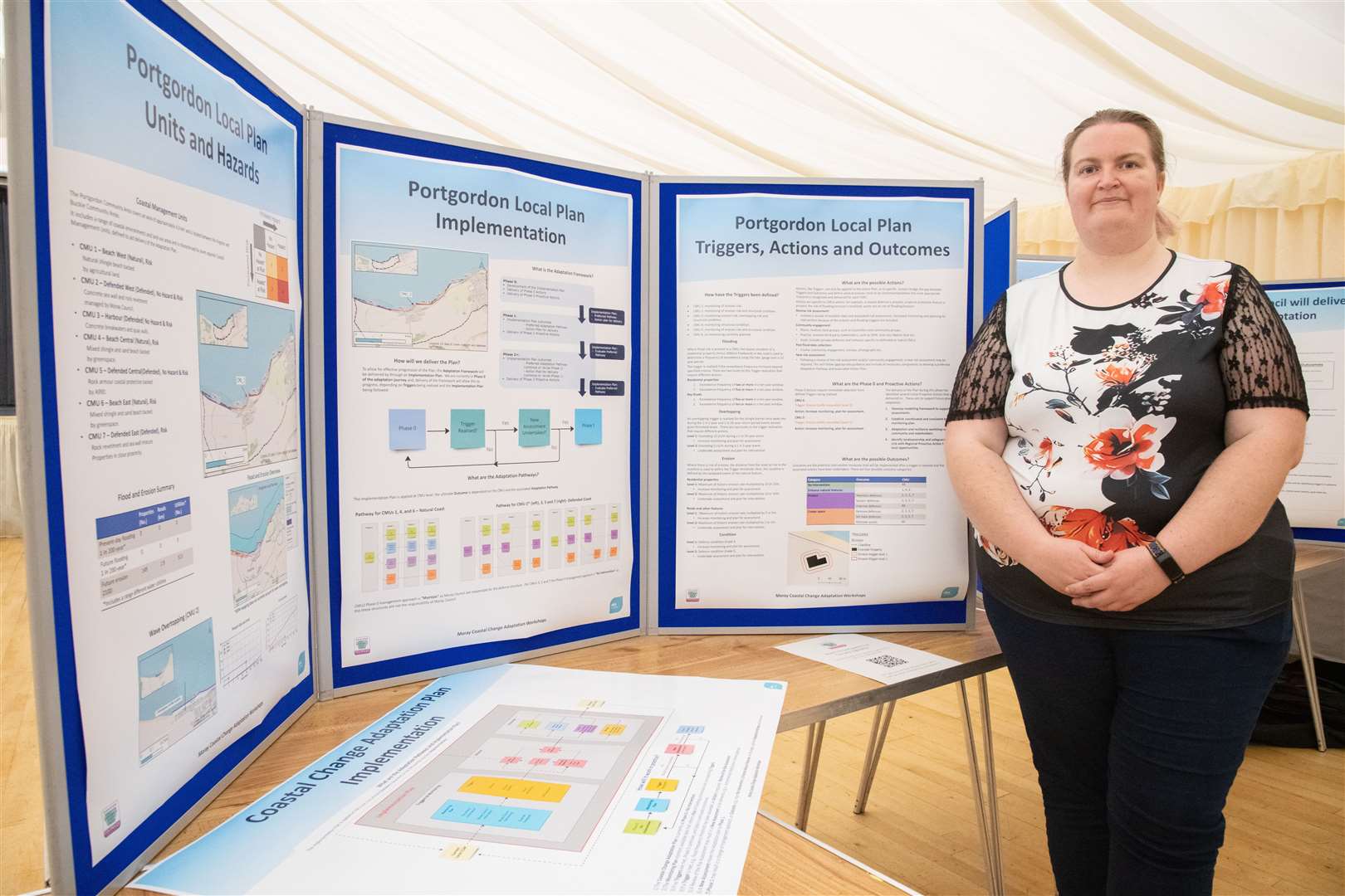
MANAGING the shape of the Moray coastline in the face of climate change took centre stage at a series of community consultations.
Moray Council invited coastal communities along to a series of drop-in events – including Buckie and Cullen – to give their views on how best to adapt to the changes set to impact on local coastlines.
Coastal Change Adaptation Plans are being drawn up to give the local authority a clearer process for managing coastal assets and decision making based on evidence from coastal monitoring.
Speaking at the Buckie drop-in session, Moray Council flooding engineer Leigh Moreton said there had been a very encouraging response to the consultations.
She continued: "It's been a really good experience and it was really, really busy.
"On one occasion, people were even standing waiting for us to open up.
"It's great to see people are so passionate about their communities."
Ms Moreton identified the main challenges facing the council's response to coastal climate changes revolved around the effects of erosion, coastal flooding and wave overtopping.
She said: "We've divided the Moray coastline into 11 areas and each one will have its own plan.
"These plans will be into units depending what these areas are made of, for example sand or rocks, or whether it already has its own sea defences, like Seatown in Cullen and how much at risk they are.
"Through the consultations we were trying to find out what communities see as their vision for the future and link it to the overall plan."
She went on to say that there were a number of different outcomes which could result from the information gleaned from any given area, ranging from no action to moving or bolstering defences.
"The aim is that we have a future proofed plan which people can pull off the shelf when needed," she said.
"The plan can be used when various triggers are hit, for example when erosion comes within 20m of a road and then later 10m.
"We also want to make it as user-friendly as possible."
With the drop-in sessions now at an end, the council team will now go away and examine the feedback they have received and see how they can be fitted into the area plans.
It is hoped a draft plan will be set before councillors by the end of the year.
Any queries or suggestions from the community should be directed to flooding@moray.gov.uk and include CCAP Community Engagement in the subject.